Eco Regions of Africa
By GeoLayers.co.za Editorial •
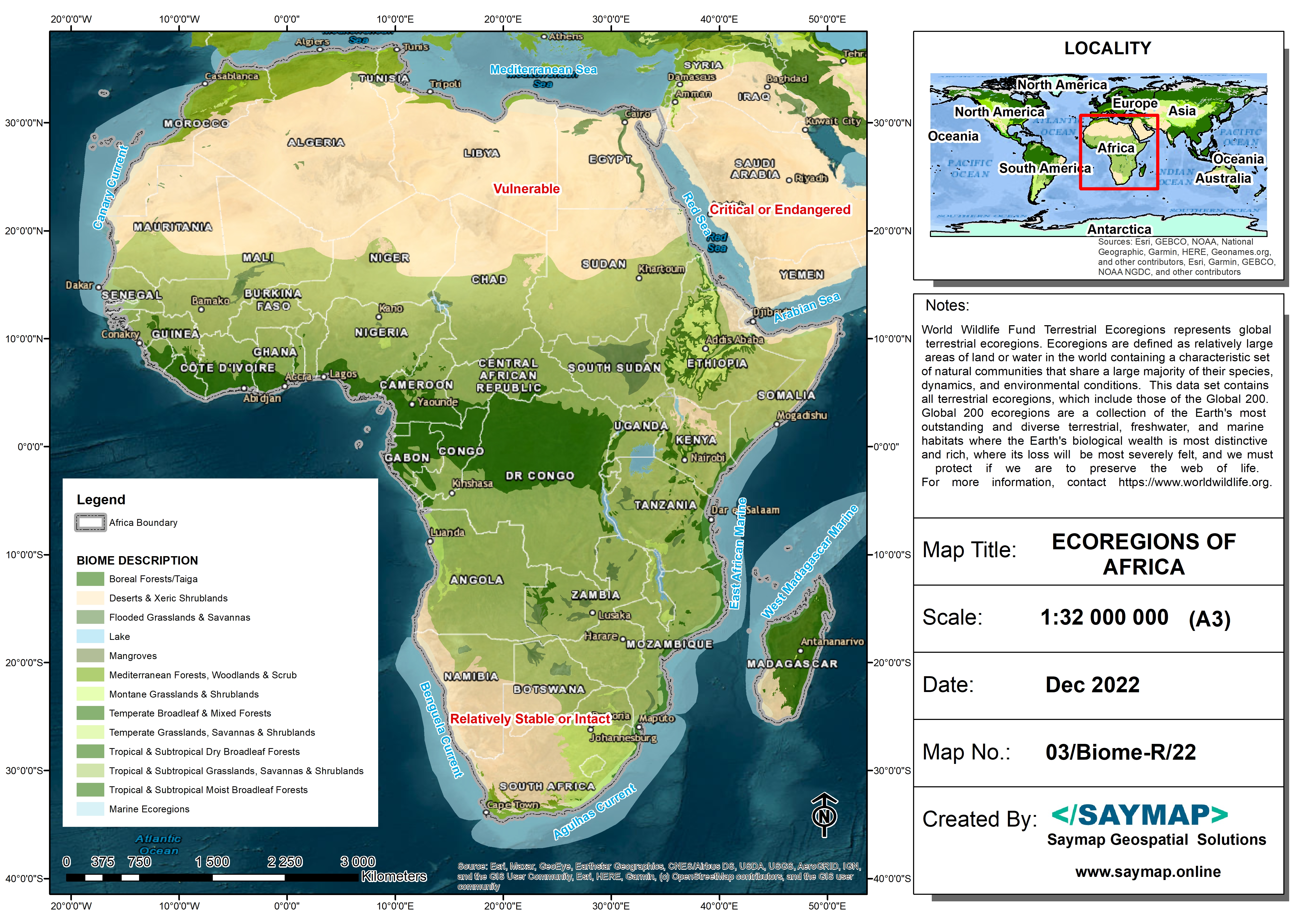
There are many industry uses for land use maps. For example, urban planners use land use maps in development projects to ensure that the proposed development meets the town planning requirements and is suitable for the current context. Land use maps can also show trends and patterns in a given geographic area by displaying uses such as residential areas, commercial or industrial zones, agricultural land and wetlands in distinct color pallets enabling map readers and decision makers to quickly identify areas of opportunity or weakness.